

In an age where GPS and hiking apps dominate, paper maps seem like a thing of the past.
Yet they remain the hiker's most reliable companion. No battery to monitor, no signal to connect to, and a comprehensive view of the terrain that no screen can replace. The IGN map still stands out as the reference for planning your route, anticipating the terrain, and moving in the right direction.
Provided, of course, that you know how to read it.
What is an IGN map?
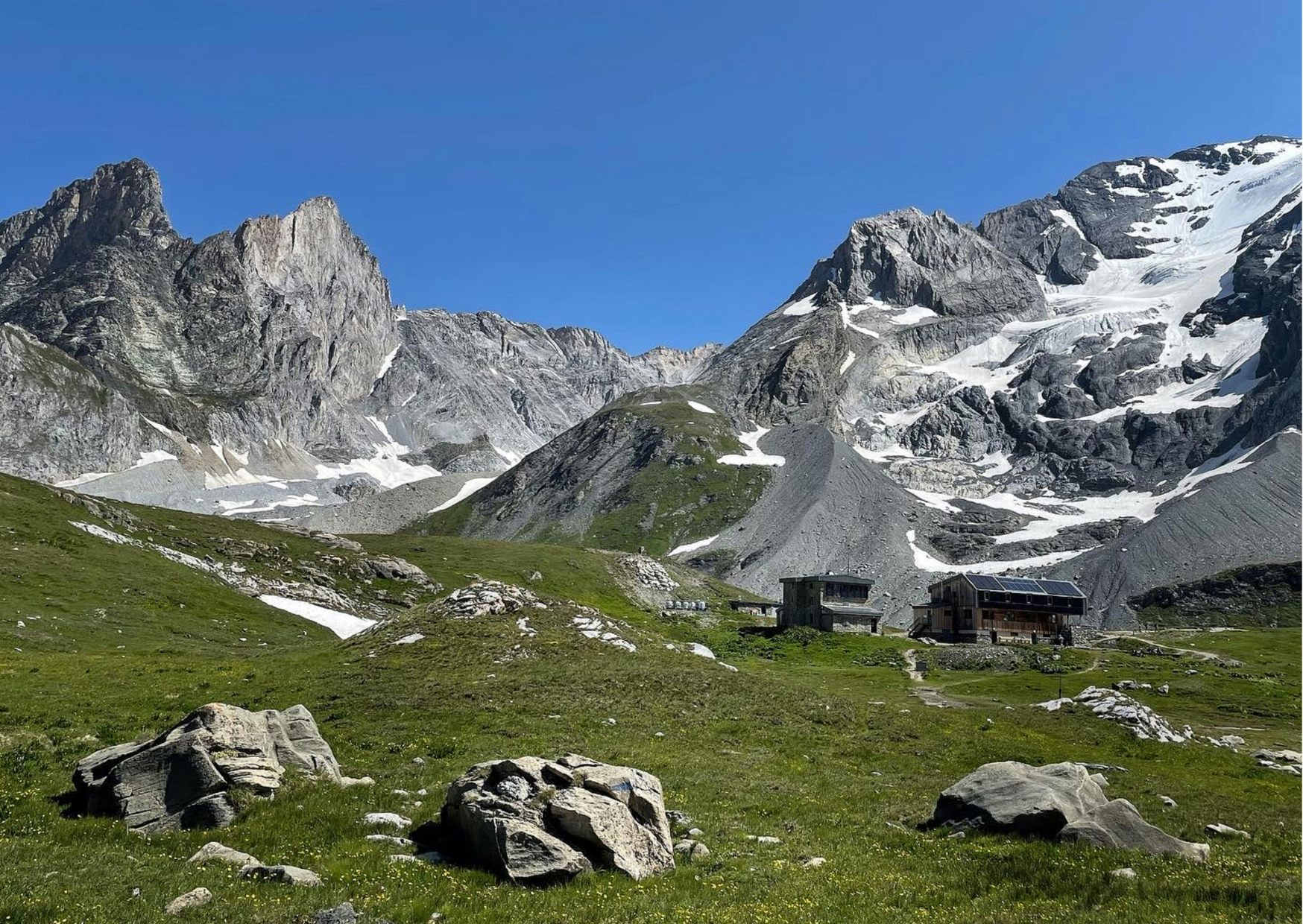
The IGN map is the reference map for hikers in France. It is published by the National Institute of Geographic and Forest Information and allows you to read the terrain much more precisely than a simple road map. It shows trails, forests, rivers, villages, shelters, and even rocky areas.
The most common format for hiking is 1:25,000: 1 cm on the map equals 250 m on the ground. This is precise enough to see useful details when planning or following a route. There is also 1:50,000, which is larger but less detailed.
The big plus is the contour lines. They outline the relief. The closer they are together, the steeper the slope. It's thanks to them that we can anticipate the difference in altitude and know if the outing will be easy or more challenging.
Even if you use an app or GPS, having a paper map in your bag provides extra security in case of a breakdown, dead battery, or loss of signal.
Step 1: Choose the right scale and area
understanding the scale 1:25,000 vs 1:50,000
When hiking, the scale determines the level of detail of the map.
➜ At 1:25,000, 1 cm represents 250 m. This is the most precise scale for following trails, locating a shelter or identifying a steep passage.
➜ At 1:50,000, 1 cm is equal to 500 m. You can see wider, but you lose precision. This display is better suited for preparing long crossings or having an overview of a mountain range.
check the geographic coverage of your route
Before purchasing a map, make sure it covers your entire outing. Maps are divided into zones, and sometimes your route may overlap two sheets. Nothing is more annoying than having to navigate between two maps in the middle of a hike. Also consider the start and finish area, especially if you're planning a loop or a traverse.
Step 2: Correctly orient your card
locate the cardinal points
Before following a route, position the map the right way up. North is always at the top of the IGN map. South, east, and west are then easily deduced. This allows you to compare what you see on paper with the actual terrain.
use the compass to align the map to the terrain
The simplest method is still the compass. Place the compass on the map and turn the whole thing until the red needle points north on the map. Once the two are aligned, the map matches your surroundings. This is the surest way to avoid going in the wrong direction.
rely on visual landmarks (ridges, rivers, villages)
If you don't have a compass, use what you see around you: a river, a ridgeline, a distant village. Locate these features on the map and align it so the directions match. This technique is less accurate than using a compass, but it's still useful when you don't have an instrument handy.
Step 3: Read the contour lines and relief
understand curve spacing
Contour lines connect all points at the same altitude. Their distance indicates the slope: close together = steep terrain, spaced apart = gentle slope. The vertical interval between two contour lines, called the equidistance, is not always the same. On IGN hiking maps (TOP25) , it is most often 10 m, but it can be 5 m on the plain or 20 m in very rugged massifs.
identify a steep slope, a valley, a pass
A marked narrowing of the curves indicates a steep ascent or descent. A valley is generally identified by V- or U-shaped curves pointing upstream, following the direction of water flow. A pass corresponds to a narrowing of two opposing slopes and is often identified by a "saddle" between two peaks.
anticipate the positive and negative elevation difference
To estimate the elevation gain, count the number of bends between two points and multiply by the equidistance indicated on the map. For example, if the gap is 10 m and you take 12 bends, the elevation gain is 120 m. This allows you to prepare your effort and better manage your pace on the route.
Step 4: Recognize the IGN symbols and legend
trails, tracks and roads
To easily find your way around an IGN map, start with the roads: they are visible at first glance and serve as reliable landmarks.
Their color and thickness vary according to their importance: highways and national roads in thick orange, thinner secondary roads, small municipal roads in white.
The tracks appear in white, bordered by dotted lines. These are wide paths passable by 4x4 or agricultural vehicles. On the ground, they are often very smooth roads.
The trails are marked in black. These are narrow paths reserved for walkers, sometimes straight, sometimes winding. When they belong to a marked route such as a GR or a GRP, they are highlighted in pink on the map. The name of the trail is indicated, and on the ground, you will find the corresponding markings. These markers help confirm that you are on the intended route.
vegetation (forests, meadows, marshy areas)
Wooded areas are colored green. Meadows or fields appear white or light green. Wetlands or marshy areas are indicated by hatched blue or specific symbols. These indications allow you to anticipate the nature of the terrain and any potential ground-related difficulties.
constructions and developments (bridges, shelters, buildings)
IGN maps also indicate useful buildings and landmarks: a black square or a small symbol represents a house, a building, or a shelter. Bridges are indicated by an appropriate symbol, as are churches, cemeteries, and towers.

Step 5: Plan your route before leaving
choose a logical route adapted to your level
Before setting off, plot your route directly on the map. Use marked trails, GR (long-distance footpaths), or designated paths. Avoid "theoretical" straight lines that cut through woods or private areas.
Take your experience into account: a beginner will prefer a shorter route with little elevation gain, while an experienced walker can aim for longer loops or passages at altitude.
identify difficult areas (steep slopes, technical passages)
By studying the contour lines, identify sections that rise or fall sharply. The tighter they are, the more intense the effort will be.
Also look for technical passages: scree slopes, rocky areas, torrent crossings. The symbols on the map often indicate these sensitive points. Anticipating these difficulties allows you to adjust the duration and avoid underestimating the effort.
provide break and fallback points
Mark your possible stops on the map: shelters, clearings, villages, or water sources. These are all reassuring landmarks in case of fatigue or changeable weather. Also consider identifying exit points from the route, such as a road or a hamlet, to shorten the hike if necessary. Having these options in mind provides greater comfort and security once you're on the trail.
Step 6: Find your way around the terrain during the hike
track your progress with regular checkpoints
Keep an eye on the map throughout your walk. Look for visible, fixed features like intersections, bridges, clearings, or peaks, then confirm your position on them. Moving from marker to marker allows you to check that you're staying on the right path and avoid unpleasant surprises.
use the azimuth technique with the compass
To get from one specific point to another, you can use azimuth. Place the compass on the map between your position and the objective, then align the needle with north on the map. The angle indicated gives you the direction to follow on the terrain. This method is useful when the trail disappears or when visibility is reduced.
adjust the route in case of unforeseen circumstances
A blocked path, worsening weather, or a slower-than-expected pace: sometimes you have to change your plan. Use the map to identify an alternative route, a shortcut, or an exit to a road. Having a few alternatives in mind before setting out makes it easier to make decisions on the spot.
Step 7: Keep track of and protect your card
mark your key points
Mark your important landmarks directly on the map: a shelter, a watering hole, a key intersection. Use a pencil so you can correct them if necessary.
use a card protector or laminate for weather
Rain, humidity, or even a poorly sealed pocket can quickly damage a map. Slip it into a map sleeve or, for those who are more foresighted, use a laminated version. You'll keep your map legible even after several outings.
keep a copy or photo as a backup
Always take a photo of the map or a printed copy. In case of loss, you'll have a backup plan. Slipping this backup into your hiking bag is a simple habit that can save a trip.
And since we're talking about bags, it's best to choose a comfortable and sturdy model: discover our selection of hiking bags .
Ready to hit the trails?
Reading an IGN map isn't just for mountaineering experts. The important thing is to know where you're going, anticipate the terrain, and always have a plan B if your GPS fails.
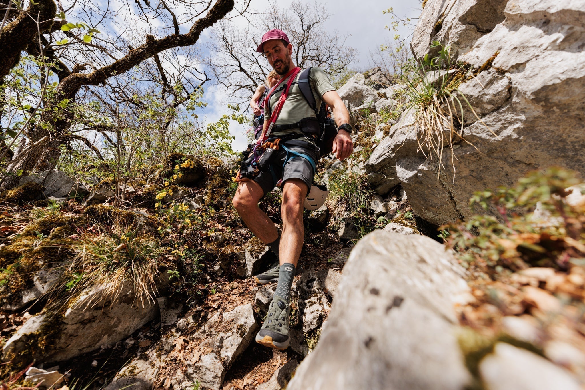
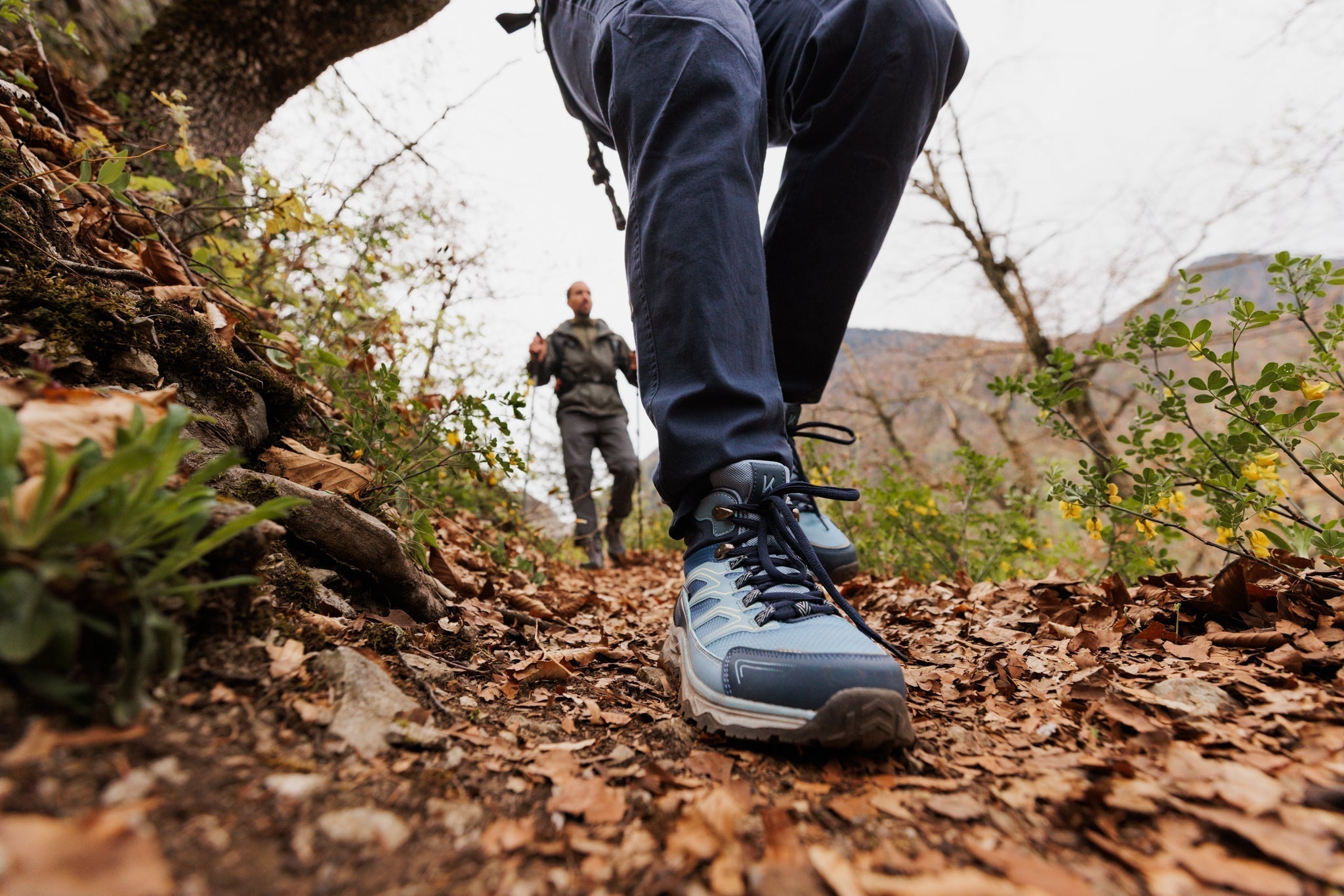
And when it comes to terrain, the most important thing is your feet: take a look at our collection of hiking shoes , designed to follow you everywhere, from gentle trails to the steepest slopes.
Choose Your Way.